0.0 / 5
How satisfied were you with the behaviour and cooperation of the staff?

A panchayat is a governing body of people's representatives.The panchayat implements the decisions of the gram sabha.The panchayat also handles the day-to-day administrative affairs.The head of the panchayat is the president.The president presides over the meetings.In the absence of the president, the vice president takes charge.Ward members are elected for each ward.Committees work for matters such as finance, health, education, etc.There are 20 people's representatives in the Paterur gram panchayat.Jasnabanu A is the president and Prabhakaran is the vice president.

President
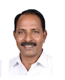
Vice President & Chairman Standing Committee for finance
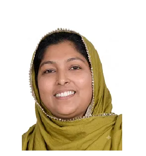
Chairman, Standing Committee for development
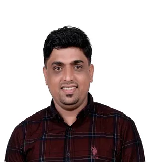
Chairman,Standing Committee for Welfare
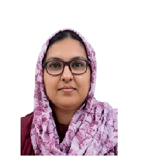
Chairman,Standing Committee for Health and Education

Secretary, Grama Panchayat

Location: Kavilakad, Tirur Taluk, Malappuram District, Kerala.
Wards: 20, Assembly Constituency: Tavanur, Lok Sabha Constituency: Ponnani
Villages: Patherur
Total Population (2011): 36080
Area: 19.5 sq km
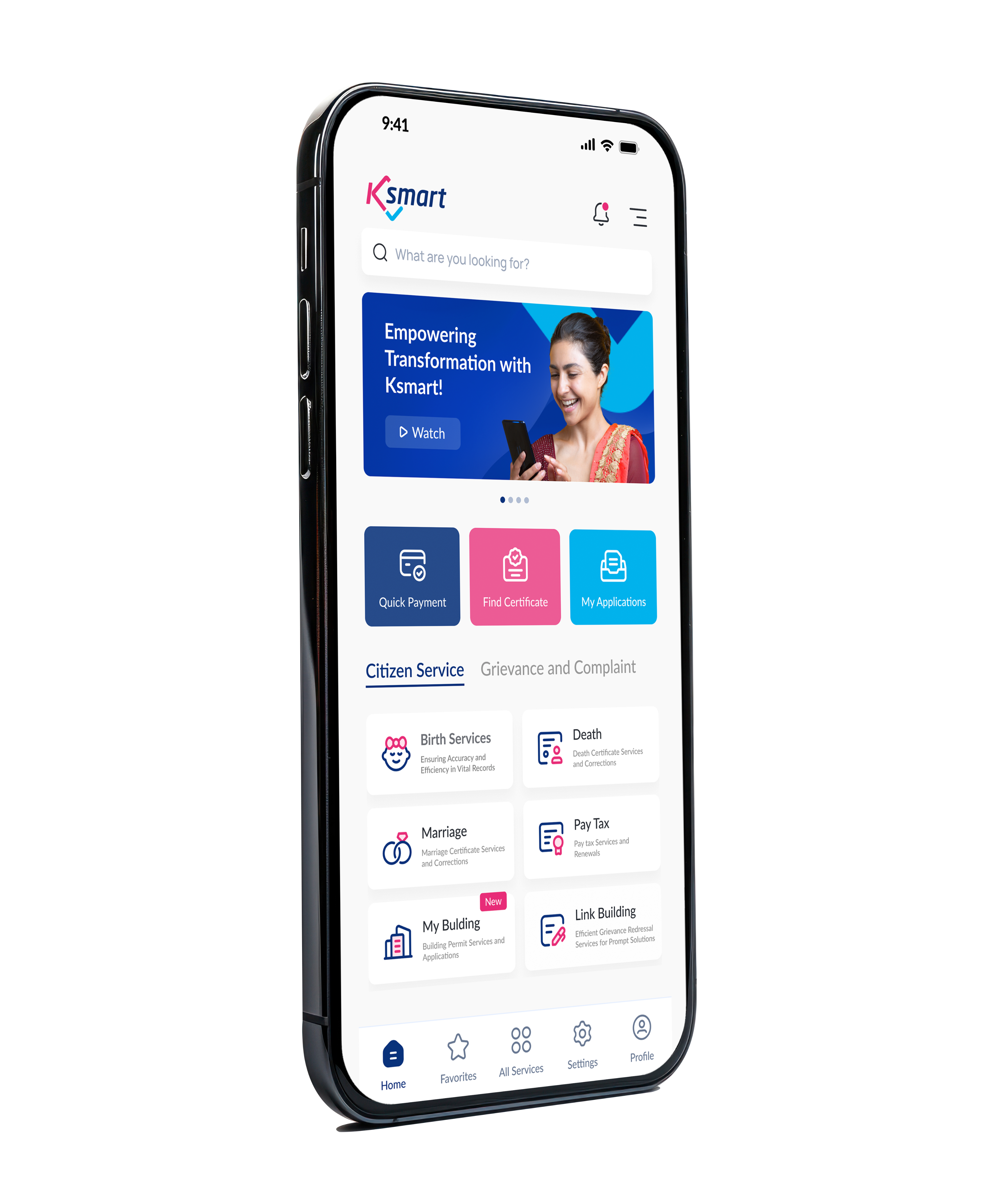
Download Now



Purathur Grama Panchayat is a coastal panchayat formed in December 1964. The panchayat has an area of 19.15 sq km and has a population of approximately 36,080. The Arabian Sea, Bharathapuzha and Tirur-Ponnani River are the main geological features of the panchayat. The area is suitable for agriculture due to its sandy and clayey soil. While coconut is the main crop, paddy, banana, vegetables, pepper and sesame are also widely cultivated. The panchayat has water resources including 16 ponds and several wells. Clean water is provided to the people through 95 public drinking water taps. Night travel has become more convenient with the installation of street lights on the roads. The confluence of Bharathapuzha and the Arabian Sea is a major tourist destination.
Read More
A Big Change in Little Hands: Phase 2 Continues...The second phase of the district-level IEC campaign titled "A Big Change in Little Hands" (Complete Segregation Literacy Campaign), aimed at empowering children to correctly segregate plastic waste, was successfully held today at GUPS Purathur...
Read More
The plastic segregation literacy campaign "A Big Change in...
October 7, 2026
Purathur Grama Panchayat Operation Toofan 2.0 Anti-Narcotics...
September 30, 2026
Operation Toofan 2.0
September 26, 2026
Logo Released as Part of Swachhata Hi Seva Activities in...
September 26, 2026